.kmz, 2014-2015
here: propagationofman, suspectedearthimpacts, atmosphere, timezones
description
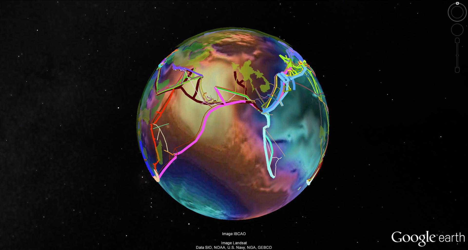
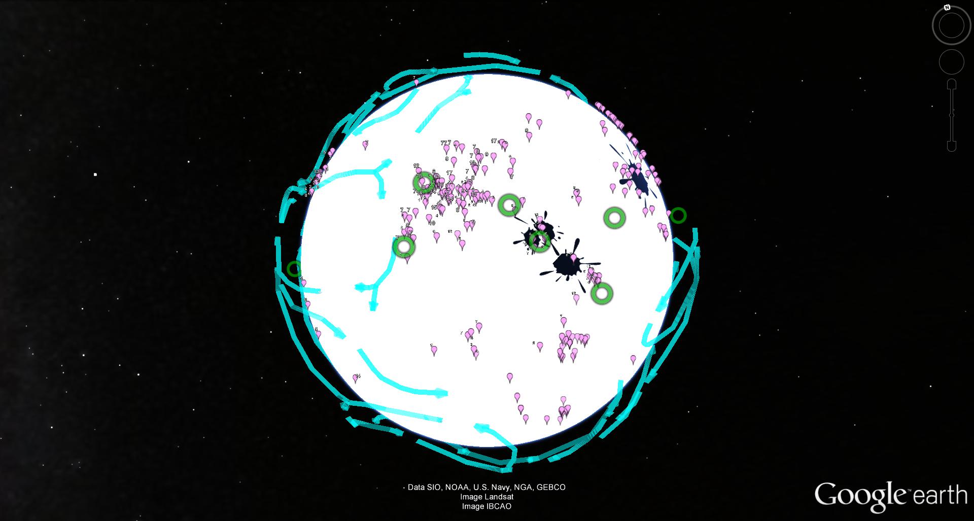
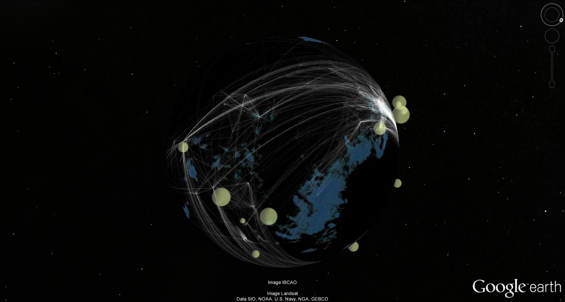
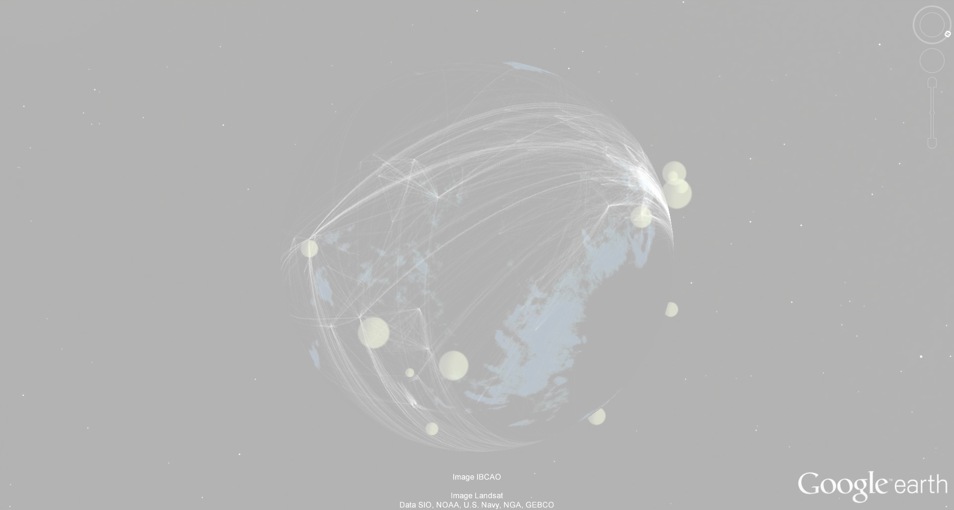
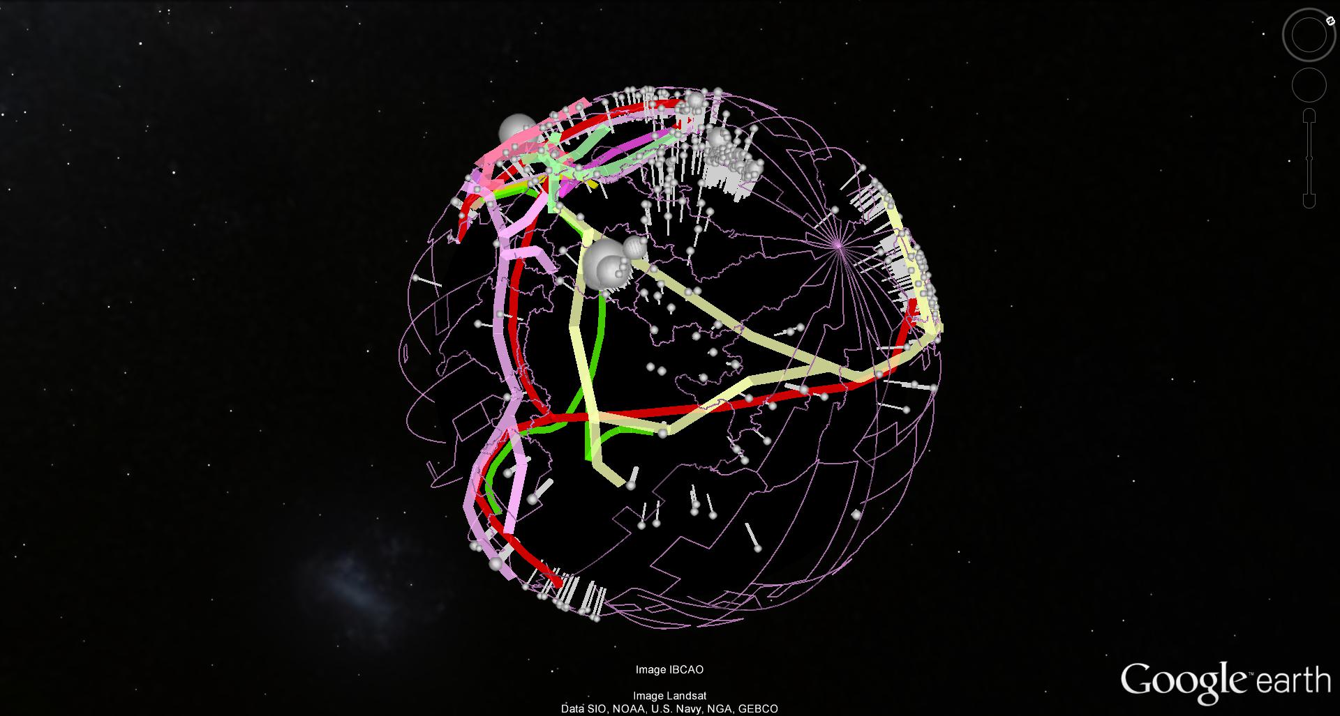
The series .kmz combines geographical, political, historical, navigational, communicational, meteorological, archaeological, economical, ecological, biological, seismological, sociological and anthropological information in form of geodata written in the Keyhole Markup Language (KML) without any relation to their content. The transdisciplinary assembly follows artistic compositional decisions only. The animated globe is used as canvas, which is painted on with geodata in form of location markings, paths, polygons and image overlays as dots, lines or surfaces. Despite a clear interest in the cartographical information as graphic and painterly potential, there's a fascination for the rupture of knowledge systems and the evolving new compositions. Although the geodata is unrelated at first glance, possibly even randomly compiled, they do in fact interrelate. Mainly on an aesthetic, but also on a rhizomatic content level. By a simple click, the viewer has access to all the information in writing. To maintain its three-dimensionality, the work is published as a KMZ file that can be watched in Google Earth.